

TECHNICAL CHARACTERISTICS:
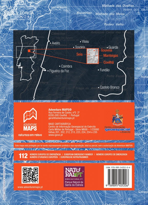
· Cartographic base CIGeoE - Geospatial Information Center of the Army
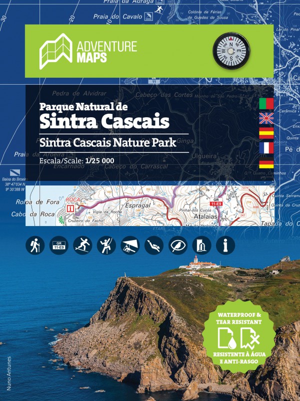
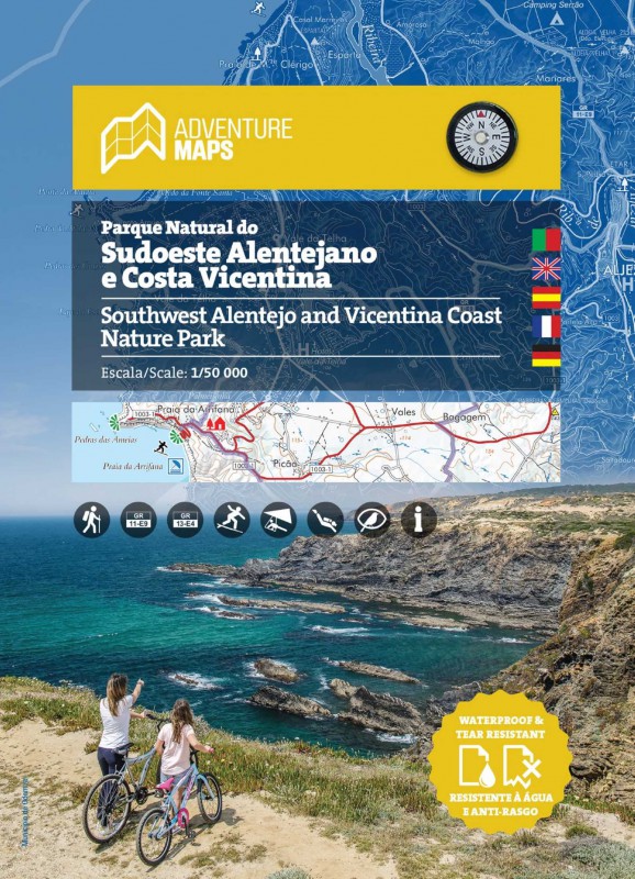
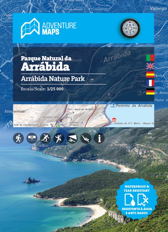
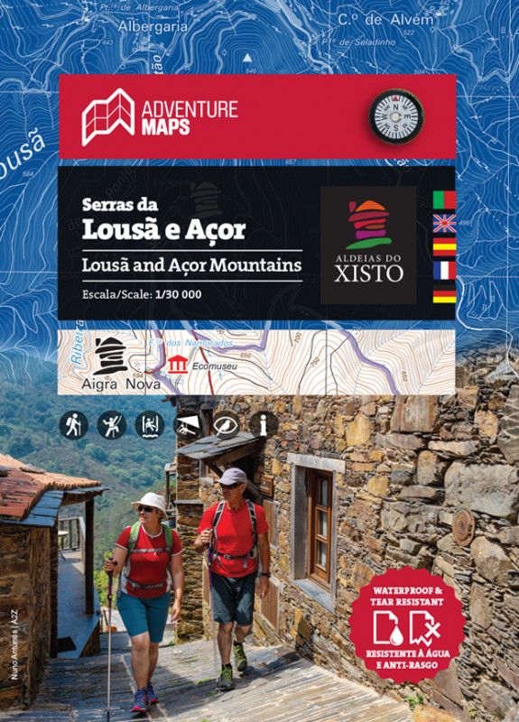
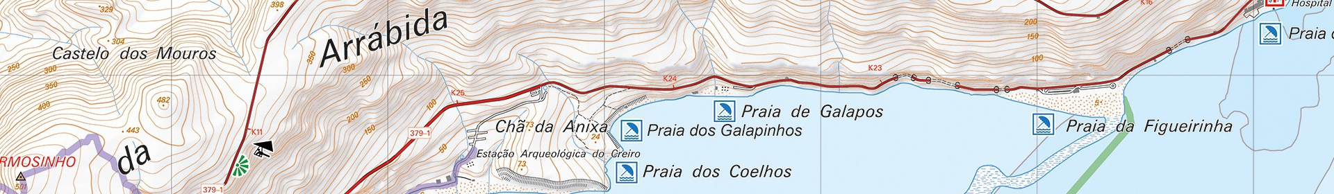
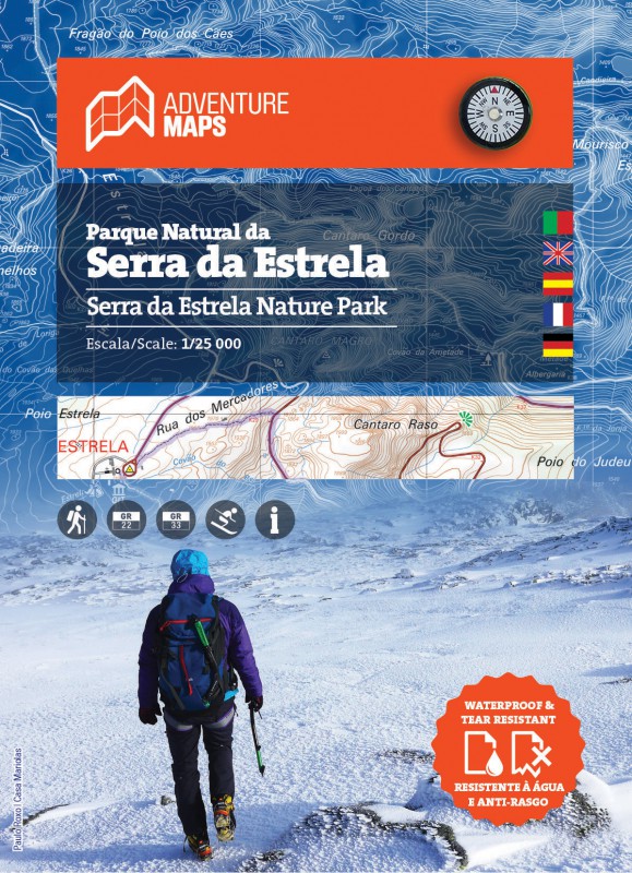
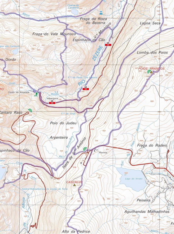
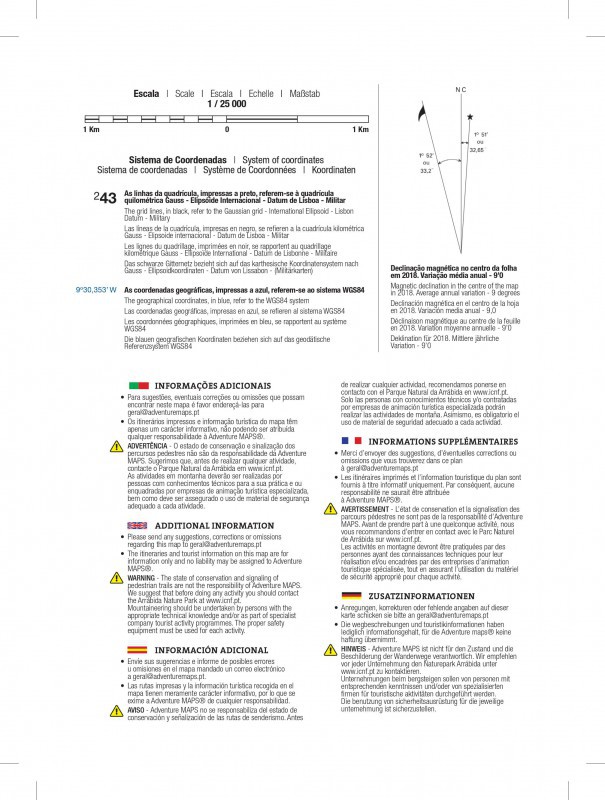
· Scale: 1/25 000 (1 cm = 250 m)
· Legend and Additional Information in Portuguese, English, Spanish, French and German
· Built-in magnetic compass
· Paths, GR(Long Distance Path) and PR(Short Distance Path), includes GR22 and GR33
· Tourist points of interest with symbols, Mountain Villages, Waterfalls, Panoramic Views, Picnic Areas, Museums and Tourism Stations, among others.
· Equidistance of contour lines: 10 m
· Gauss Quadricula with divisions of 1 Km
· WGS84 coordinates (compatible with GPS)
· Representation of the magnetic declination
· Open Dimension: 96.5cm x 62.7cm
· Folded Dimension: 21cm x 15.2cm
· Printing: double-sided with overlapping area
Synthetic Paper waterproof and anti tear
"Due to its mass and altitude Estrela is the most important mountain in Portugal mainland. The largest element of the Central Mountain Range is Torre (tower) with 1,991 meters high. Serra da Estrela Nature Park (89.132,21 ha) has a diverse landscape, namely lagoons and high altitude pastures, peat bogs, oak and sweet chestnut woods, other forest areas and production woods. Presence of granite and shale and the springs of Mondego, Alva and Zêzere rivers make Estrela a veritable water castle dominating Beiras regions and the meeting of varied climates.
Estrela Mountain is a fundamental testimony of the last glaciation, which occurred about 30,000 years ago. It presents a high geodiversity and rocks aged up to around 600 million years. These facts were recognized by UNESCO, gaving it the geopark status, the so-called Estrela Geopark.
Vegetation is influenced by 3 types of climate - Mediterranean, Atlantic and Continental - and 3 altitudinal floors: basal; intermediate; and higher.
Fauna includes a large number of mammals and birds. For its importance and diversity are notable small reptiles and amphibians with endemic species such as the Iberian rock lizard (Iberolacerta monticola).
It has essentially peripheral human settlements with some isolated houses and interesting examples of regional architecture. The mountain is home of the "cão da serra da Estrela" (Estrela Mountain dog), of “ovelha da Serra da Estrela” (Estrela Mountain sheep), a race that excels in producing milk, and the famous “queijo da serra da Estrela” (Estrela Mountain cheese), a trademark of regional gastronomy."
Text: INSTITUTO DA CONSERVAÇÃO DA NATUREZA E DAS FLORESTAS, I.P.
mapa Parque Natural da Serra da Estrela, mapa caminhadas serra da estrela, percursos pedestres serra da estrela, mapa turístico serra da estrela, vale glaciar do Zêzere, campismo serra da estrela, alojamento serra da estrela, cascatas serra da estrela